David Adamiak
TTEC - Mid Atlantic Cohort
11.20.15
 In generating interest in the Appalachian Trail, I set up the amazingly huge map the was provided by the ATC. With the help of the UMSTV Morning Show, an announcement was made requesting students that had hiked the trail to see me and together we would place a bubbled note on the map. It would include their name and pinpoint the location where they had hiked. In just a few short days, 15 students came to me.
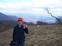
Teachers also came to me and we “pinned” them too. The biggest surprize came from our Assistant Principal. She had hiked from Swatara Gap, PA to Springer Mountain, GA when she was 15. That’s 1,176 miles! She did this in a very nontraditional way by living off the land. She carried a bow and arrow and used it to hunt with. She also ate berries to sustain herself. Word is spreading about her endeavor. Kids asked her what it was like. She told them that she would not do it again the same way. She also told them that they should do it when they were older than 15 and use mail drops. Some kids asked if she felt like Katniss from “Mockingjay”, because she used her bow to hunt.
 Interesting enough, she is from PA and likes to pronounces “Appalachian” the southern version .
I ran into a student in the hallway yesterday. He asked me when I was going to organize the Hiking Club. I told him that I will be getting things started very soon. It looks like the large map is generating interest afterall!

No comments:
Post a Comment